

Hand-painted oil on canvas in your size and frame, made to order by our artists. ( Switch to Print Switch to Digital Image)
Pick from our preset sizes that match the artwork's original proportions.

You may enter your own dimensions to fit a specific frame or space. If your selected size does not match the original image's proportions, we will either crop the artwork or extend the painting with additional hand-painted elements. A digital mockup will be sent for your approval before production begins.
Please note that the on-screen preview does not reflect the actual cropping or extension. Only the mockup will accurately show the final composition.
While custom sizes are available, we recommend selecting a dimension from the predefined list to preserve the original proportions.
Worldwide Delivery () in 3/4 weeks instead of standard 5 weeks. (18 September). No compromise on quality.


Atlas Miller
Reproduction Size

Born in Lisbon around 1485, Pedro Reinel stands as a pivotal figure in the burgeoning world of Portuguese cartography during the late fifteenth and early sixteenth centuries. His life coincided with an era of unprecedented maritime exploration – the voyages of Prince Henry the Navigator, Diogo Cão’s expeditions along the African coast, and the ambitious quest to circumnavigate the globe. Reinel wasn't a flamboyant explorer himself, but rather a meticulous craftsman, a skilled mapmaker who quietly shaped European understanding of the world through his detailed charts and contributions to some of the most significant atlases of the time.
Reinel’s origins remain somewhat shrouded in mystery, though recent scholarship suggests a fascinating connection to West Africa. Historian Rafael Moreira has proposed that his father was an ivory carver brought from the region to serve within the royal workshops, bringing with him not only artistic skill but also invaluable knowledge of African coastlines and navigational techniques. This heritage undoubtedly informed Reinel’s approach to cartography, lending a unique perspective to his work – particularly evident in his remarkably detailed depictions of the African continent.
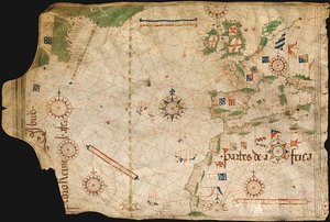
Reinel's most enduring legacy lies in his authorship of several portolan charts, those meticulously crafted nautical maps that dominated Mediterranean navigation during this period. One of the earliest and most significant examples, tentatively dated around 1485, is a testament to Reinel’s skill and dedication. This chart, now housed in the Archives départementales de la Gironde in Bordeaux, offers an extraordinary glimpse into the navigational knowledge of the time. It meticulously charts the western Mediterranean Sea, showcasing the coastline from Portugal to North Africa, and importantly, includes a remarkably detailed depiction of the African coast extending as far as the Congo River – a feat previously unseen on such maps.
What’s particularly noteworthy about this chart is Reinel's innovative approach to representing the African interior. Rather than relying solely on traditional tracing methods, he attempted to draw the continent in its true geographical form, an unusual and ambitious undertaking for the era. This demonstrates a sophisticated understanding of cartographic principles and a desire to provide his patrons with the most accurate information possible.
Reinel’s influence extended beyond individual charts; he played a crucial role in the creation of the renowned Miller Atlas (1519), a lavishly illustrated work commissioned by King Manuel I. This atlas, primarily the product of Dutch miniaturist Antonio de Holanda, showcased a remarkable blend of artistic and cartographic skill. Reinel, along with his son Jorge Reinel and the cartographer Lopo Homem, contributed significantly to the project’s design and execution, demonstrating their expertise in producing accurate and aesthetically pleasing maps.
The Miller Atlas provides valuable insight into the evolving techniques of mapmaking during this period. Notably, it represents one of the earliest instances of a scale of latitudes being incorporated onto a map – a crucial advancement that facilitated more precise navigation. Reinel’s contribution was further highlighted by his inclusion of a wind rose with a clearly defined fleur-de-lys, a detail demonstrating an awareness of prevailing winds and their influence on maritime travel.
Reinel's work also reveals a keen understanding of the complexities of navigation. He recognized that compass readings were often inaccurate due to magnetic variation – the difference between true north and magnetic north. To address this, Reinel employed two different meridians on his charts: one closely approximating true north, and another tilted approximately 22 degrees towards Labrador, accounting for the significant variations encountered by early explorers. This innovative approach reflects a sophisticated grasp of navigational challenges and demonstrates a commitment to providing sailors with the most reliable information possible.
Pedro Reinel’s contributions to Portuguese cartography were so substantial that he was honored with a Portuguese postage stamp in 1935, a testament to his enduring legacy. His work continues to be studied and appreciated by historians and map enthusiasts alike, offering a fascinating window into the intellectual and technological developments of the Age of Discovery. Reinel’s maps are not merely representations of geographical space; they are windows into the minds of those who navigated, explored, and shaped our understanding of the world.
1485 - 1542 , Portugal

 Preview
 Send
Send Share
Share
 Details

 Download
 Similars
 X-Ray
X-Ray Diaporama
 Stats
Stats
 Read More
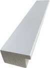
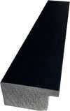
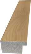
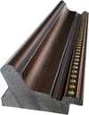
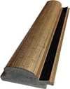
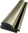
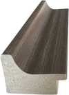
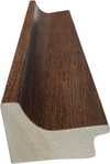
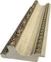
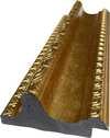
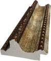
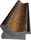
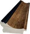
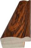
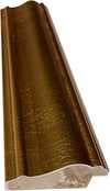
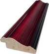
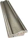
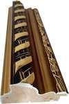
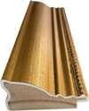
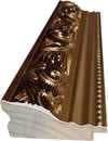
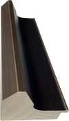
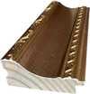
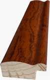
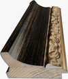
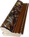
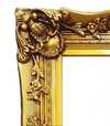
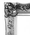
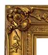
 Glass option is only available in size under 110 CM


