
빠른 제작과 다양한 마감 옵션을 제공하는 박물관 품질의 지클레이 또는 캔버스 프린트. ( 손으로 그린 그림 구매 디지털 이미지로 전환)
작품의 원본 비율을 유지하는 미리 설정된 크기 중에서 선택하세요.

특정 프레임이나 공간에 맞춰 직접 치수를 입력하실 수 있습니다. 선택하신 사이즈가 원본 이미지의 비율과 일치하지 않을 경우, 작품을 크롭(자르기)하거나 이미지를 대칭 또는 단색 채우기로 확장하여 제작합니다. 제작 시작 전, 최종 확인을 위해 디지털 목업이 전송됩니다.
화면상의 미리보기는 실제 크롭이나 확장 상태를 반영하지 않으므로, 최종 구도는 오직 목업을 통해서만 정확하게 확인하실 수 있습니다.
맞춤 사이즈 제작도 가능하지만, 원본 비율을 유지하기 위해서는 사전 정의된 목록에서 치수를 선택하시는 것을 권장합니다.

Kunstmann IV Planisphere
복제본 크기

Jorge Reinel, a pivotal figure in Portuguese cartography and artistic instruction during the Renaissance, remains an enigmatic artist whose legacy continues to fascinate scholars today. Born around 1502 in Lisbon, Portugal—the son of renowned cartographer Pedro Reinel—his life was marked by both intellectual curiosity and significant personal upheaval.
Pedro Reinel’s influence profoundly shaped Jorge's formative years, instilling within him a deep appreciation for the meticulous craft of mapmaking. However, tragedy struck early when Jorge endured a bitter dispute with a priest over inheritance matters, forcing him to relocate to Seville in 1519.
It was in Seville that Jorge Reinel’s artistic journey truly commenced. He joined forces with Diogo Ribeiro and other prominent cartographers preparing for Ferdinand Magellan's ambitious voyage of discovery around the globe—a project that would solidify Portugal’s position as a maritime superpower. Reinel’s detailed depictions of the Maluku Islands, specifically commissioned by King Philip II, served as crucial visual aids for navigators and fueled Spain’s burgeoning claims to these lucrative spice territories.
Beyond his contributions to exploration, Reinel established himself as an educator, attracting numerous pupils eager to master the art of celestial navigation and map projection. His teachings emphasized a blend of classical knowledge—particularly Ptolemy's geocentric model—with practical observation techniques, shaping the intellectual landscape of Iberian cartography for decades to come.
Reinel’s artistic output extended beyond atlases; he produced stunning planispheres – instruments designed to determine latitude and longitude—that showcased remarkable artistry alongside scientific precision. These works exemplify the Renaissance ideal of integrating art and science, reflecting a broader cultural movement dedicated to understanding the cosmos through rational inquiry.
While Reinel’s biographical details remain scarce, his impact on Portuguese cartography is undeniable. He stands as a testament to the transformative power of intellectual exchange and artistic innovation—a figure whose legacy continues to inspire admiration for his dedication to both scholarship and visual excellence.

1502 - , Portugal


 미리보기
미리보기
 공유하기
공유하기 공유하기
공유하기
 상세 정보
상세 정보

 다운로드
다운로드
 유사 작품
유사 작품 X-레이
X-레이 슬라이드 쇼
 통계 정보
통계 정보
 더 보기
더 보기
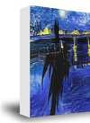
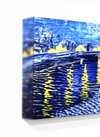
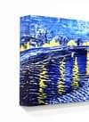
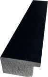
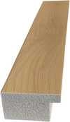
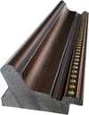
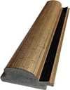
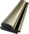
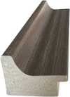
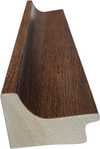
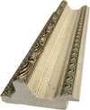
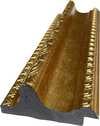
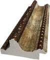
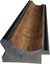
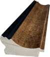
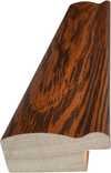
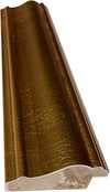
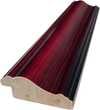
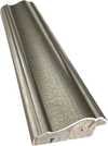
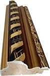
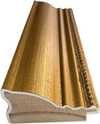
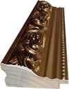
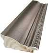
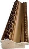
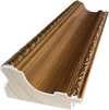
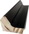
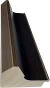
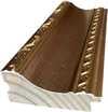
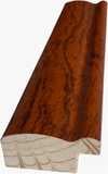
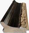
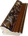
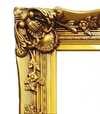
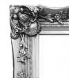
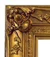
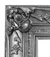


 유리 옵션은 110cm 미만 크기에서만 선택 가능합니다.


