
빠른 제작과 다양한 마감 옵션을 제공하는 박물관 품질의 지클레이 또는 캔버스 프린트. ( 손으로 그린 그림 구매 디지털 이미지로 전환)
작품의 원본 비율을 유지하는 미리 설정된 크기 중에서 선택하세요.

특정 프레임이나 공간에 맞춰 직접 치수를 입력하실 수 있습니다. 선택하신 사이즈가 원본 이미지의 비율과 일치하지 않을 경우, 작품을 크롭(자르기)하거나 이미지를 대칭 또는 단색 채우기로 확장하여 제작합니다. 제작 시작 전, 최종 확인을 위해 디지털 목업이 전송됩니다.
화면상의 미리보기는 실제 크롭이나 확장 상태를 반영하지 않으므로, 최종 구도는 오직 목업을 통해서만 정확하게 확인하실 수 있습니다.
맞춤 사이즈 제작도 가능하지만, 원본 비율을 유지하기 위해서는 사전 정의된 목록에서 치수를 선택하시는 것을 권장합니다.

Carte reduite de l
복제본 크기

Jacques-Nicolas Bellin (1703 – 21 March 1772) stands as a pivotal figure in the history of French cartography and a testament to the meticulous dedication demanded by naval hydrography. Born in Paris, he wasn’t merely a mapmaker; he was an integral part of the intellectual ferment of his time, belonging to the influential group known as the philosophes – those Enlightenment thinkers who sought to understand and shape the world through reason and observation. Bellin's legacy rests primarily on his extraordinarily detailed maps, particularly those charting Canada, Louisiana, and the broader territories of New France, which remain invaluable historical documents today. His work wasn’t simply about depicting geography; it was a crucial element in France’s imperial ambitions and its burgeoning maritime power.
Bellin's career began formally in 1721 when he was appointed hydrographer to the French Navy, a remarkably young age for such a prestigious position. This appointment marked the start of a fifty-year period during which he produced an astonishing volume of charts and atlases – including the monumental Atlas Maritime and the smaller but equally impressive Petit Atlas Maritime (containing 580 individual charts). These weren’t merely reproductions of existing knowledge; Bellin brought a level of precision and artistry rarely seen in his era. He meticulously incorporated contemporary observations, utilizing new surveying techniques to create maps that were remarkably accurate for their time. His work was highly sought after throughout Europe, with many other mapmakers adopting his standards of excellence.
Bellin’s involvement with the Encyclopédie, the ambitious project spearheaded by Denis Diderot and Jean le Rond d'Alembert, speaks volumes about his intellectual standing. He contributed a staggering 994 articles to this vast compendium of knowledge, demonstrating a breadth of interests that extended far beyond cartography. This engagement with the philosophes reflects a broader commitment to rational inquiry and the systematic pursuit of understanding – principles deeply embedded in his approach to mapmaking. Bellin’s work wasn't driven solely by practical necessity; it was fueled by a genuine desire to document, analyze, and disseminate knowledge about the world.
Furthermore, Bellin’s dedication to accuracy extended beyond purely technical considerations. He famously acknowledged the source of one significant error in his maps – a misinterpretation of a map created by Spanish missionary Pedro Murillo Velarde charting the Philippines. This act of intellectual honesty, a rarity for cartographers of the time, highlights Bellin's commitment to rigorous scholarship and responsible representation. He meticulously documented the origins of his information, demonstrating a respect for the work of others and acknowledging the potential for error in any system of knowledge.
Bellin’s most enduring contributions lie in his detailed maps of North America. His charts of Canada were particularly crucial to French colonial administration, providing essential navigational information for trade routes, settlements, and military operations. He meticulously documented the waterways, coastlines, and interior geography of New France – encompassing territories that would later become Quebec, Ontario, and other parts of Eastern Canada. Similarly, his maps of Louisiana, including the vital port of New Orleans, were instrumental in asserting French control over this strategically important region.
Bellin’s work extended beyond these specific regions, producing comprehensive atlases depicting vast stretches of the Atlantic Ocean and the Indian Ocean. These atlases showcased his mastery of cartographic techniques and his ability to synthesize complex geographical data into visually compelling representations. The sheer scale and detail of these projects underscore Bellin's dedication to his craft and his significant role in shaping European understanding of the world.
Jacques-Nicolas Bellin’s influence on cartography is undeniable. His meticulous approach, combined with his commitment to accuracy and intellectual honesty, set a new standard for mapmaking during the 18th century. His maps are not merely historical artifacts; they offer invaluable insights into the geography, politics, and culture of France's colonial era. They stand as a testament to the power of observation, analysis, and artistic skill – qualities that continue to resonate with art historians and cartographic enthusiasts today. His work remains a vital resource for researchers studying early American history, maritime exploration, and the development of European cartography.

1703 - 1772 , France


 미리보기
미리보기
 공유하기
공유하기 공유하기
공유하기
 상세 정보
상세 정보

 다운로드
다운로드
 유사 작품
유사 작품 X-레이
X-레이 슬라이드 쇼
 통계 정보
통계 정보
 더 보기
더 보기
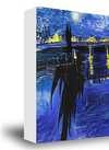
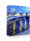
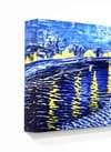
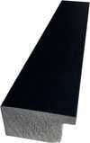
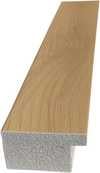
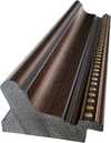
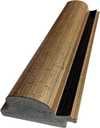
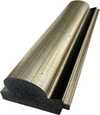
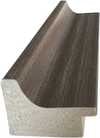
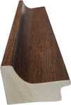
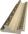
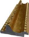
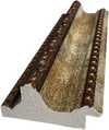
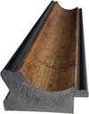
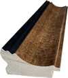
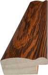
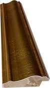
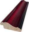
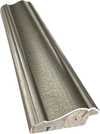
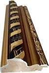
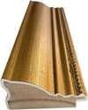
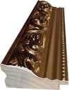
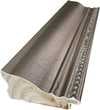
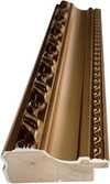
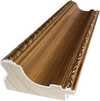
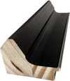
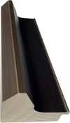
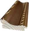
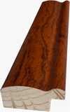
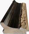
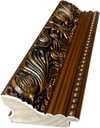
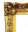
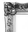
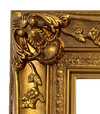
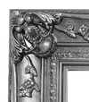


 유리 옵션은 110cm 미만 크기에서만 선택 가능합니다.


