
当社のアーティストが、お客様のご希望のサイズと額縁に合わせて、キャンバスに手描きで制作する油彩画です。 ( プリント版に切り替え デジタル画像販売へ切り替え)
作品のオリジナル比率に合わせた、当店の規定サイズからお選びください。

特定のフレームやスペースに合わせて、ご希望のサイズをご入力いただけます。選択されたサイズが元の画像の比率と異なる場合、アートワークをトリミングするか、手描きで要素を追加して絵画を拡張いたします。デジタルモックアップ を制作し、制作開始前にご確認(承認)をいただきます。
画面上のプレビューは、実際のトリミングや拡張を正確に反映しているものではありません。最終的な構図は、モックアップによってのみ正確にご確認いただけます。
カスタムサイズもご利用いただけますが、元の比率を維持するためには、あらかじめ用意されたリストからサイズを選択することをお勧めいたします。

Kunstmann IV Planisphere
複製画のサイズ

Jorge Reinel, a pivotal figure in Portuguese cartography and artistic instruction during the Renaissance, remains an enigmatic artist whose legacy continues to fascinate scholars today. Born around 1502 in Lisbon, Portugal—the son of renowned cartographer Pedro Reinel—his life was marked by both intellectual curiosity and significant personal upheaval.
Pedro Reinel’s influence profoundly shaped Jorge's formative years, instilling within him a deep appreciation for the meticulous craft of mapmaking. However, tragedy struck early when Jorge endured a bitter dispute with a priest over inheritance matters, forcing him to relocate to Seville in 1519.
It was in Seville that Jorge Reinel’s artistic journey truly commenced. He joined forces with Diogo Ribeiro and other prominent cartographers preparing for Ferdinand Magellan's ambitious voyage of discovery around the globe—a project that would solidify Portugal’s position as a maritime superpower. Reinel’s detailed depictions of the Maluku Islands, specifically commissioned by King Philip II, served as crucial visual aids for navigators and fueled Spain’s burgeoning claims to these lucrative spice territories.
Beyond his contributions to exploration, Reinel established himself as an educator, attracting numerous pupils eager to master the art of celestial navigation and map projection. His teachings emphasized a blend of classical knowledge—particularly Ptolemy's geocentric model—with practical observation techniques, shaping the intellectual landscape of Iberian cartography for decades to come.
Reinel’s artistic output extended beyond atlases; he produced stunning planispheres – instruments designed to determine latitude and longitude—that showcased remarkable artistry alongside scientific precision. These works exemplify the Renaissance ideal of integrating art and science, reflecting a broader cultural movement dedicated to understanding the cosmos through rational inquiry.
While Reinel’s biographical details remain scarce, his impact on Portuguese cartography is undeniable. He stands as a testament to the transformative power of intellectual exchange and artistic innovation—a figure whose legacy continues to inspire admiration for his dedication to both scholarship and visual excellence.

1502 - , Portugal


 プレビュー
プレビュー
 シェアする
シェアする シェアする
シェアする
 詳細を見る
詳細を見る

 ダウンロード
 似ている作品
 X線調査
X線調査 スライドショー
 統計情報
統計情報
 詳細を見る
詳細を見る
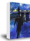
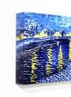
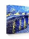
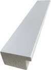
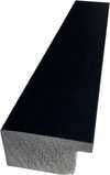
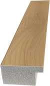
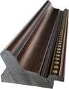
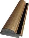
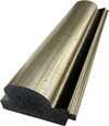
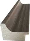
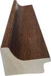
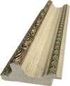
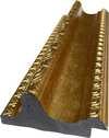
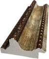
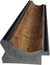
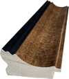
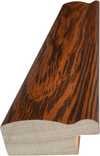
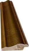
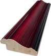
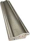
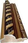
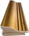
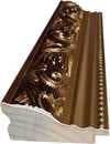
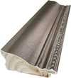
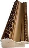
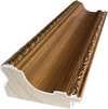
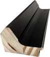
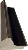
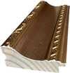
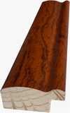
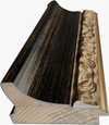
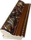
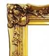
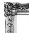
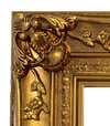
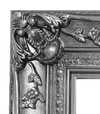


 ガラスオプションは、110cm未満のサイズでのみご利用いただけます。


