Jorge Reinel (c. 1502 – after 1572)
Jorge Reinel, a pivotal figure in Portuguese cartography and artistic instruction during the Renaissance, remains an enigmatic artist whose legacy continues to fascinate scholars today. Born around 1502 in Lisbon, Portugal—the son of renowned cartographer Pedro Reinel—his life was marked by both intellectual curiosity and significant personal upheaval.
Pedro Reinel’s influence profoundly shaped Jorge's formative years, instilling within him a deep appreciation for the meticulous craft of mapmaking. However, tragedy struck early when Jorge endured a bitter dispute with a priest over inheritance matters, forcing him to relocate to Seville in 1519.
It was in Seville that Jorge Reinel’s artistic journey truly commenced. He joined forces with Diogo Ribeiro and other prominent cartographers preparing for Ferdinand Magellan's ambitious voyage of discovery around the globe—a project that would solidify Portugal’s position as a maritime superpower. Reinel’s detailed depictions of the Maluku Islands, specifically commissioned by King Philip II, served as crucial visual aids for navigators and fueled Spain’s burgeoning claims to these lucrative spice territories.
Beyond his contributions to exploration, Reinel established himself as an educator, attracting numerous pupils eager to master the art of celestial navigation and map projection. His teachings emphasized a blend of classical knowledge—particularly Ptolemy's geocentric model—with practical observation techniques, shaping the intellectual landscape of Iberian cartography for decades to come.
Reinel’s artistic output extended beyond atlases; he produced stunning planispheres – instruments designed to determine latitude and longitude—that showcased remarkable artistry alongside scientific precision. These works exemplify the Renaissance ideal of integrating art and science, reflecting a broader cultural movement dedicated to understanding the cosmos through rational inquiry.
While Reinel’s biographical details remain scarce, his impact on Portuguese cartography is undeniable. He stands as a testament to the transformative power of intellectual exchange and artistic innovation—a figure whose legacy continues to inspire admiration for his dedication to both scholarship and visual excellence.



 Δείτε σε πραγματικό χώρο
 Μετάβαση σε Εκτυπωση
 Αποστολή
 Κοινοποίηση
 Λεπτομέρειες

 Λήψη
Λήψη
 Παρόμοια αντικείμενα συλλογής
 Ακτινογραφία
 Παρουσίαση
 Στατιστικά
 Διαβάστε περισσότερα
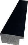
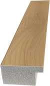
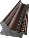
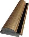
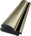
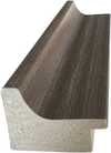
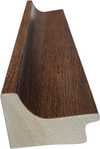
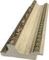
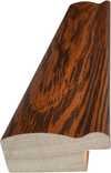
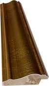
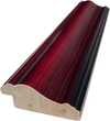
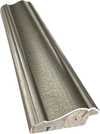
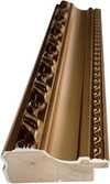
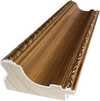
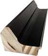
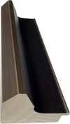
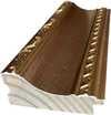
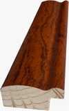
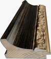
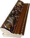


 Η επιλογή με γυαλί είναι διαθέσιμη μόνο για μεγέθη κάτω από 110 εκ.


